Searching out operations in city ecosystem of Turku for applying open satellite data
The BalticSatApps project started on the Turku region by doing informative user uptake actions, and the following steps are headed towards enabling more serious data utilization. The challenge at the point is to find the real doers and concrete data cases in addition to wide common interest around the open satellite data.
To solve this challenge, the Turku Science Park Ltd, with the University of Turku, started a closer co-operation with the City of Turku. A common aim and need was to find concrete cases inside the City of Turku’s fields of operations, where they could use and utilize open satellite data.
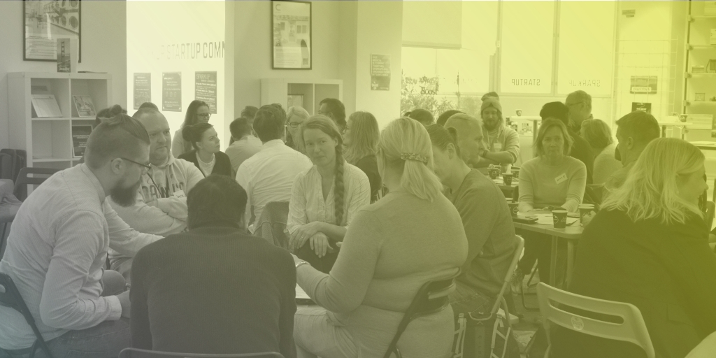
The first collaborative action in this context was held in the beginning of October, when the event Utilizing the open data within the city of Turku was arranged. The event consisted of a few expert presentations about the satellite data in general, and of a workshop where the participants were couraged to think about the topic based on their own expertise and knowledge.
The aim of the workshop was to gather different ideas of how the open satellite data could be used in the Turku region, and in which context? The assignment was not restricted to any existing field or function but rather lead the participants brainstorm freely, and even wild ideas were wanted.
A good number of representatives from the City of Turku were participating, and they could lead the conversations in small groups. The ideas and visions that were made in small groups were presented at the end of the session to other participants. The width of the ideas was great, as expected, and some kind of categorization was needed to summarize the results.
After the first event the local BalticSatApps project members grouped the workshop results. All in all, six different categories were created, and the ideas were then sorted according the following titles:
- Leisure and travelling (e.g. ice situation for ice-skaters and finding less light polluted places)
- Traffic and logistics (e.g. traffic streams and capacity measurements; port, parking lots)
- Climate change (e.g. monitoring green areas: forests, parks and monitoring the CO2 and other emissions)
- Planning, building, parks and maintenance (e.g. follow-up for building and monitoring the need for infrastructure maintenance)
- Nature environment (e.g. water and air quality and monitoring wild animal movements)
- Participation and environmental education (e.g. climate challenges for citizens and illustrating and visualizing different “invisible” phenomena).
The second collaboration activity in the process was to arrange a meeting with a group of key persons from different City departments, and to present the results to them. This time the participation in the meeting on behalf of the City was lesser, but during the conversation we were able to find some new fresh ideas of how to proceed with finding the right cases and people inside the many City departments.
As a concrete outcome from the meeting, a questionnaire is now being developed. It will be pointed out somewhat widely to employees in different City’s departments. First, the workshop’s results are presented shortly in the questionnaire. Secondly, we want to know, which of the categories attract the respondent and to what extent? The aim is to find from one to several persons who would seize any of the categories and who would be willing to examine the utilization of satellite data in that context. We are looking forward the results to go ahead with the new collaboration with the City.