Data2Information Kit helps you to take over and deploy Copernicus Earth Observation data
The BalticSatApps Data2Information Kit is an information package designed to help you to understand the Copernicus Earth Observation (EO) data. The document presents the Copernicus satellites, data and application areas. This knowledge is deepened with examples how to deploy the data and with success stories to demonstrate Copernicus implementation.
Background
“Data2Information Kit has been developed to popularise and familiarise users with the possibility of using Copernicus data” – explains Radosław Gurdak, who has coordinated the manual development together with Prof. Katarzyna Dąbrowska–Zielińska, Martyna Gatkowska, Dr. Inz. Zbigniew Bochenek, Damian Olszewski, Patryk Grzybowski, and Joanna Tuszyńska from the Institute of Geodesy and Cartography, Poland. The Institute was established in 1945, and an important part of the Institute’s activity is also conducting research and applied works in the field of basic geodetic measurements, as well as the application of aerial and satellite remote sensing in agriculture, environmental protection, regional planning, and public statistics.
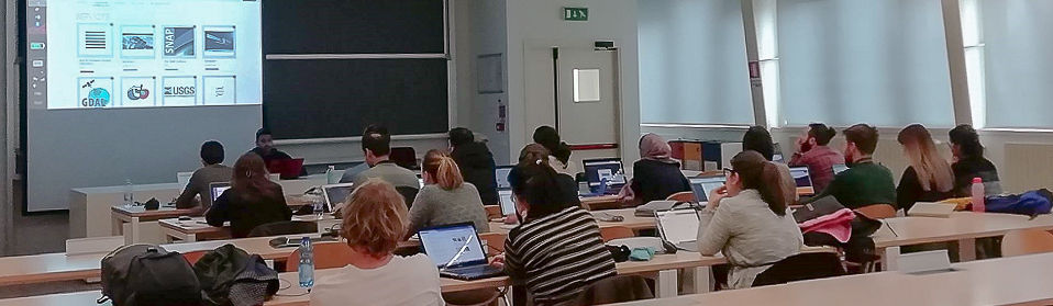
The initial stage of work was to collect the needs and expectations of potential users. “We wanted to prepare an instruction on the use of Copernicus data, both for beginners and those more advanced users” – says Radosław Gurdak. A set of tasks introducing work with vector and raster data has been prepared. “Each user can, step by step, process the data on their own in free software,” he adds and concludes that during the making of the Data2Information Kit, the most difficult thing was to select valuable content that could interest the widest possible audience.
“The Data2Infomation Kit is a step-by-step guide, how to transform Copernicus data into information mostly desired by users.”
Targeted to application developers interested in EO data both on public and private sectors:
- Research Institutes (for example in geography, geology, and atmosphere)
- Universities (for example faculties of natural and environmental sciences)
- Municipalities (for example in spatial planning, air quality monitoring)
- Start-ups
- Companies from the agricultural, mining, marine and construction sectors.
Benefits and solutions based on remote sensing data and ready free-of-charge Copernicus services
First, the Data2Information Kit documents user needs and capabilities and opens up the Copernicus Programme, what Copernicus Services are available via the Programme, and shows success stories to demonstrate the applicability of Copernicus data. Based on the users’ needs, exemplary solutions based on remote sensing data and ready free-of-charge Copernicus services are showcased with an open access to the method of product delivery and processing chain into information mostly desired by users.
The Data2Information Kit offers knowledge of the follows:
- Copernicus Programme (satellites and in-situ components)
- Data application portfolio presentation
- Copernicus Services presentation
- Users’ needs and priority sectors in Baltic Sea Region
- Introduction to work on satellite data (raster and vector).
Second, the Data2Information Kit presents capabilities offered by the BalticSatApps project partners and explains how Copernicus data users may benefit from their infrastructure.