BalticSatApps Successfully Paving Way for Earth Observation-based Innovations in Baltic Sea Region
The European Copernicus Programme provides Earth Observation (EO) data free of charge on an open-access basis. The Copernicus services are based on satellite and in situ observations, and cater to even near real-time data needs. The services provide global data which can also be used for local and regional needs. The data can, for example, help to make visible different phenomena affecting Earth, such as climate change and urban development. The three-year BalticSatApps project has focused on the development of novel innovations leveraging this data and has covered and supported the whole chain of new service or application development from needs to solutions, and from there to commercialisation. The project has been conducted in close collaboration between the project partners from Estonia, Finland, Poland, Russian Federation, and Sweden.
The BalticSatApps project started by approaching the user and developer scene of EO data. Senior Scientist D.Sc. Ali Nadir Arslan from the Finnish Meteorological Institute led these activities.
– As part of our user uptake activities, we mapped potential users, along with potential and current domain-wise usage of Copernicus data. Furthermore, we conducted a gap analysis by category in order to match EO products and services, both existing and potential new ones, to the needs of industries in the Baltic Sea region. The results show that land, climate change and marine are the most demanded application areas for the users of EO data. In the future, we will see more usage in areas like agriculture, fishery, energy, tourism, natural hazards, and extreme weather events, describes D.Sc. Arslan.
Innovation contests, hackathons and acceleration activities
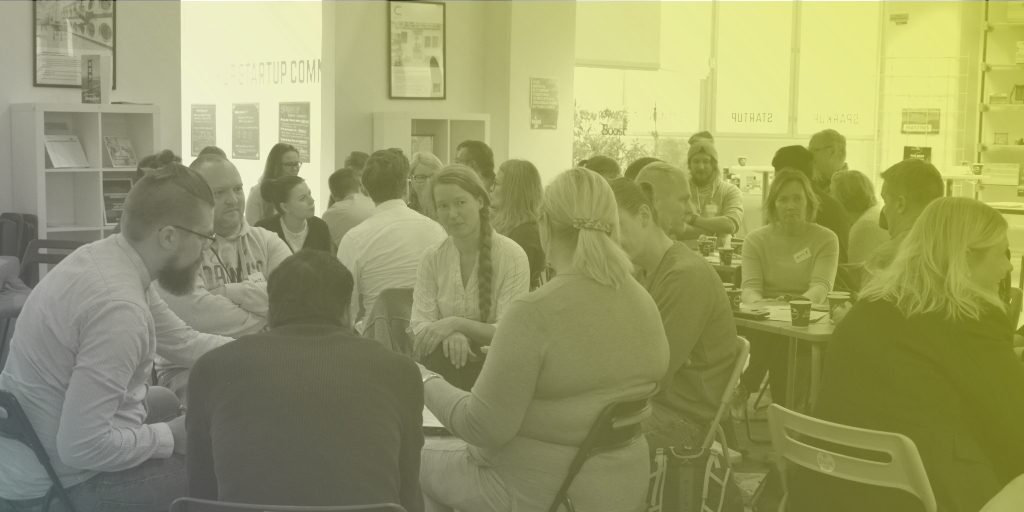
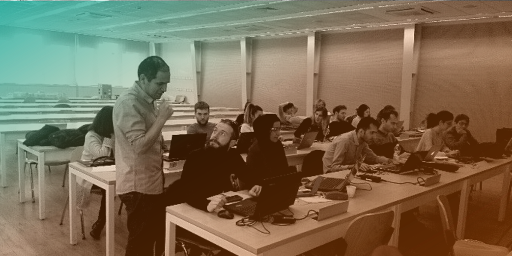
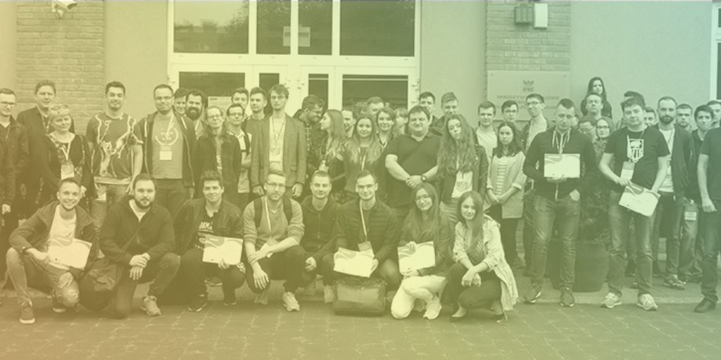
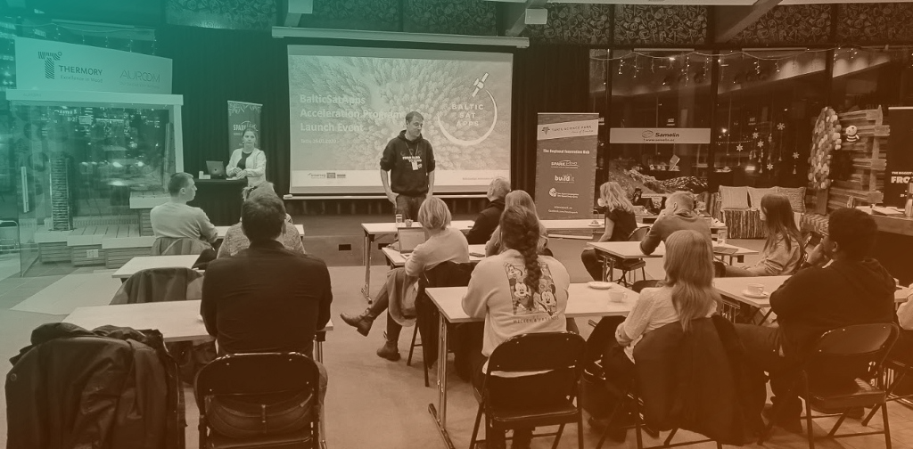
Based on the findings, the project proceeded to conduct innovation competitions and hackathons in EO. At the same time, an acceleration programme in EO was being developed and piloted in Estonia, Poland, and Finland for the first time after the first hackathons. After further innovation contests and hackathons, the acceleration programme was organised for the second time.
– Running the BalticSatApps acceleration programme has provided an excellent opportunity to network with startups and EO experts from the Baltic Sea region. As a result, we will be able to support startup teams working in the EO field to test their business models by involving them in the European Space Agency Incubator activities, says Mr Andrus Kurvits, Member of the Management Board of the Tartu Science Park.
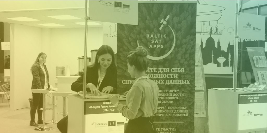
The project has also fostered collaboration with the Russian Federation within the thematic area of EO. In addition to information and training events arranged there, a Russian interface for Copernicus data was developed. The Interface integrates Copernicus and Russian satellite data sources, and it is possible for anyone to test it with the help of the instructions presented on the BalticSatApps website.
The possibilities of satellite data brought inspiration for new startups
Throughout its duration, the project has generated guidelines and materials including information and training documents aiming at assisting also other actors to conduct innovation activities focusing on EO.
– We have seen first-hand that EO data and the Copernicus Programme awake a lot of interest among the potential users of the data and the services as well as the solution developers. Through our information and training sessions, we have strived to make tangible opportunities and show that it is not necessarily so difficult to take data and start turning it into information that is useful. We are happy to have seen how all the interest and enthusiasm in EO has materialised in the BalticSatApps acceleration programme as new startups have been formed and their services taken forward with the assistance of BalticSatApps experts, says the coordinator of the project Tuomas Ranti from the University of Turku.
Through the acceleration programme, the project has contributed to the founding of 10 new startups and supported them on their way to commercialise satellite data. Mr Ranti would like to invite companies, aspiring entrepreneurs as well as public sector representatives to visit the BalticSatApps website and get acquainted with the result materials of the project.
– We believe that those interested in EO services find the groundwork we have done beneficial, and through adopting our experiences, they can get quickly up to speed with EO development and utilisation.
Inquiries
Tuomas Ranti
Research Coordinator, Areal Research and Development – ARD
tuomas.ranti@utu.fi
Tuomas Ranti, Project Coordinator, University of Turku & Johanna Aaltonen, Communication Manager, University of Turku